Garmin Edge 810: How To Load Custom Maps
I blogged on this new cycling computer months ago and managed to poison friends to get theirs as well...
Thanks to my buddy who gave a darn good pricing (thanks Jeremy!).
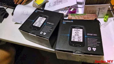
These are Performance Bundle that come with the heart rate monitor and speed/cadence sensor. There is also an out-front mount bundled together...
The whole bundle makes the local price cheaper than US online stores. Click here to Lelong if you're keen to get one.
Anyway, this post is about loading map to the Edge 810, in particular to combine the topology maps with routable maps, such as the local popular MFM maps. I loaded mine 6 months ago and I had to re-learn to load for friends (aging sign?!), so I thought it would be good to share it here for anyone's and my own benefits.
Let's start with required tools:

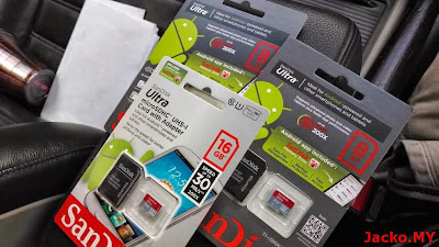
1. A micro SD card. The lowest capacity will do as MFM map is only 100MB+ or 200MB+ with topology. I would recommend invest in a branded card with better speed since the price is dirt cheap these days.
2. Click here to access the download section or direct go to each individual link below:
- MFM routable map (click here. You may need to register first)
- MFM topology map (East Malaysia, West Malaysia)
3. GMapTool - click to download.
If you do not need the topology maps, then just follow this guide 1 and guide 2 to generate the gmapsupp.img file. The file is saved in C:\Garmin\Malfreemaps folder by default. Create a folder named Garmin in the micro SD card, copy gmapsupp.img to the folder, pop in the card to Edge 810 and you're ready to ride!
If you want the topology maps, read on.
First, download all the map installers listed in step 2 above. Install and generate the gmapsupp.img for each installer, so you will get 3 gmapsupp.img files. Rename and put all 3 img files into the same folder for easy access.
Next, install GMapTool.
Launch GMapTool. Add both East and West Malaysia topology maps as shown below...
Make sure both files are highlighted (click on the file name while holding the CTRL key). Go to Write tab to set both topology maps transparent so both can overlay with the routable map...
Go back to Files tab and add the MFM routable map. Now merge all map files into a single image...
Copy the merged map file (gmapsupp.img) into the Garmin folder in the micro SD card and you're done. See the difference here, the usual MFM map without topo vs. topo at the same location...
There is another topo map by MSM with terrain shading, seems to have more details...
You may or may not need to set transparency for some topo maps. You can try different settings and see the result on Edge 810 screen. I personally reverted to map without topo info after few rides, too much info on a small screen.
This guide should be applicable to Edge 800 and similar devices.
This guide should be applicable to Edge 800 and similar devices.
Never get lost and happy riding!


Comments
Post a Comment